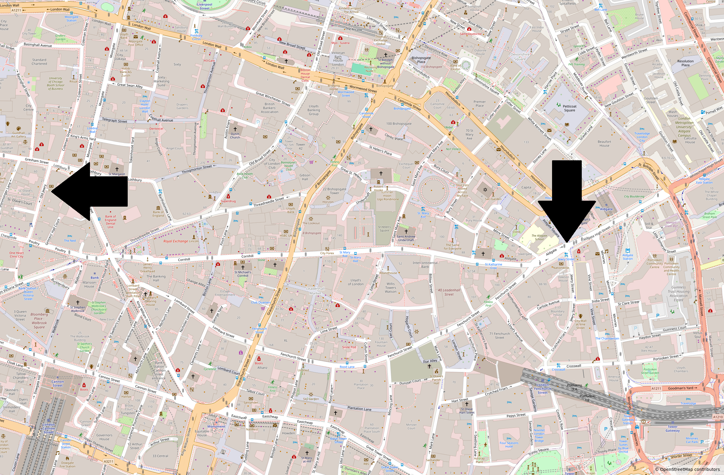
by Dorothee Schröder
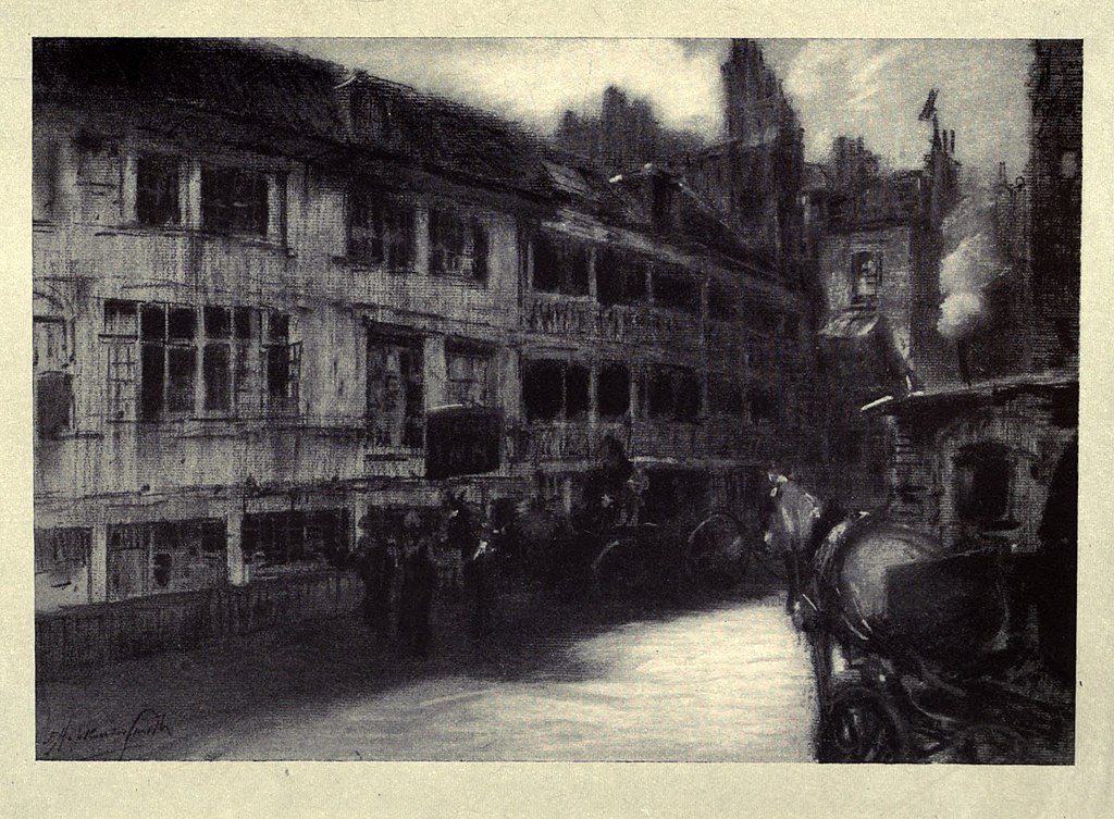
In the City of London there are two streets that share a similar name: Jewry Street and Old Jewry. Jewry Street is a short continuation of Crutched Friars running eastward to Aldgate (High Street), while Old Jewry lies within Coleman Street Ward and stretches between Gresham Street in the north and Poultry in the south. Both streets ultimately derive their names from the Jewish presence in medieval London. Jewry Street was also once known as “Poor Jewry Lane.” John Stow records in The Survey of London that the tenements in the lane from Aldgate towards Crutched Friars were called the poore Iurie, of Iewes.
Jewish settlement in London began soon after the Norman Conquest. William the Conqueror, convinced of the commercial skills of the Jewish community, invited them to settle in England in the hope of increasing the kingdom’s prosperity. In London, many Jews lived in Old Jewry and the street was therefore referred to as a “ghetto.”
In 1189–1190 the Jewish community suffered persecution and massacre, and in 1290 Edward I issued the Edict of Expulsion, forcing all Jews to leave England. Only after their banishment did the street come to be called Old Jewry. While Jews still lived there, it was known simply as The Jewry.
Among the synagogues that once stood in the City, the one in Old Jewry was known as the Great Synagogue. Today, however, there are no visible remains of Jewish life in this part of the City. Yet in 2001 archaeologists uncovered a mikveh, a ritual bath used for religious purification, beneath the site now occupied by the State Bank of India.
Old Jewry is also remembered for other reasons. The caricaturist Thomas Rowlandson, famous in the Georgian era for his earthy and biting social and political satires, was born here in 1757. Later, in 1840, the City of London Police Headquarters moved from Guildhall to 26 Old Jewry, where it remained until 2001.
Today Old Jewry lies in the financial heart of the City and is home to offices and investment firms. Only a City plaque on a wall recalls the Jewish community that lived here from the 11th to the 13th century.
Cover picture: Jewry Street (right arrow) and Old Jewry Street (left arrow) (Map: OpenStreetMap)